The southwesternmost point in Portugal
- Alison Udall
- Apr 23, 2022
- 2 min read
Cape St. Vincent- Strabo, in his Geography calls this cape the most western tip of the known world and reports the place was considered magical. Common people believed the sun sank here hissing into the ocean, marking the edge of their world.


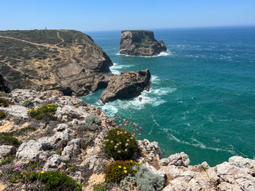
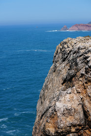
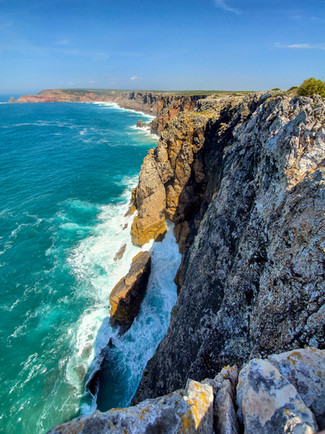
The Cape forms the southwestern end of the E9 European Coastal Path, which runs for 5,000 km (3,100 mi) to Narva-Jõesuu in Estonia. Approximately six kilometers from the village of Sagres, the cape is a landmark for a ship traveling to or from the Mediterranean. The cliffs rise nearly vertically from the Atlantic to a height of 75 meters (almost 250 feet). It took us about 45 minutes from Lagos to get here with our car and was a really pretty drive past windmills (this is typically a very windy area popular with surfers although the day we went it was very calm), farms and small settlements. We parked the car at the current lighthouse - Farol do Cabo de São Vicente - which is 79 ft high and was built over the ruins of a 16th-century Franciscan convent in 1846. *Tip: if you want to use the bathroom here make sure you have some coins on hand. Often in Europe public restrooms require payment to use. This one was 70 cents.
This lighthouse, guarding one of the world's busiest shipping lanes, is among the most powerful in Europe (the most powerful being Phare du Creach on the French island of Ushant, off the coast of Brittany); its two 1,000 W lamps can be seen as far as 60 kilometres (37 mi) away.

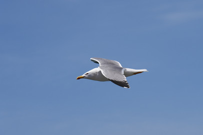
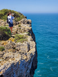
We then began hiking along the incredible steep cliffs as we explored one side and then crossed over the road and made our way back to the car along the opposite side of the cape. We spent several hours just soaking it all up, taking pictures and stopping to enjoy the incredible views, flowers/plants, birds and the blue blue water.

At the end of each day we wander through Old Town to grab dinner which always consists of the most amazing and beautiful food!














Comments